Software
Looking for top-quality software for your business needs? Look no further than Sunbelt Sales. We offer a wide range of Airborne Surveying Software that is perfect for professionals in various industries.
At Sunbelt Sales, we understand the importance of efficient and reliable software in today's fast-paced world. That's why we have carefully selected the best Airborne Surveying Software to meet your specific requirements. Whether you're in the field of land surveying, construction, or environmental monitoring, our software solutions are designed to streamline your workflow and enhance your productivity.
With our Airborne Surveying Software, you can expect advanced features, intuitive interfaces, and seamless integration with your existing tools. From data collection and analysis to mapping and visualization, our software will help you make informed decisions and achieve accurate results.
At Sunbelt Sales, we are committed to providing the highest level of customer satisfaction. So you can enjoy the convenience of shopping online and have your software delivered right to your doorstep.
Upgrade your business operations with our top-quality Airborne Surveying Software. Browse our selection now and find the perfect software solution for your needs at Sunbelt Sales.
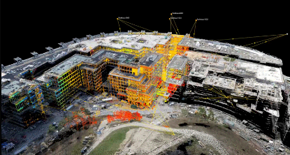
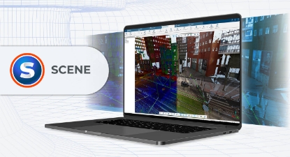
- Explore Scan Data in 2D, 3D and Virtual Reality (VR)
- Efficient Data Processing
- Graphical representation of registration results
- Easy Data Registration
- Intuitive Data Organization
- Plug-Ins and Apps for Extended Functionality
- Complete projects faster
- Eliminate geographical boundaries
- Ensure accuracy and quality control
- Dynamic data management
- A single source of information

