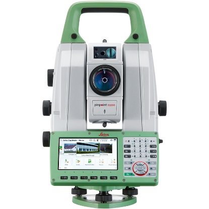
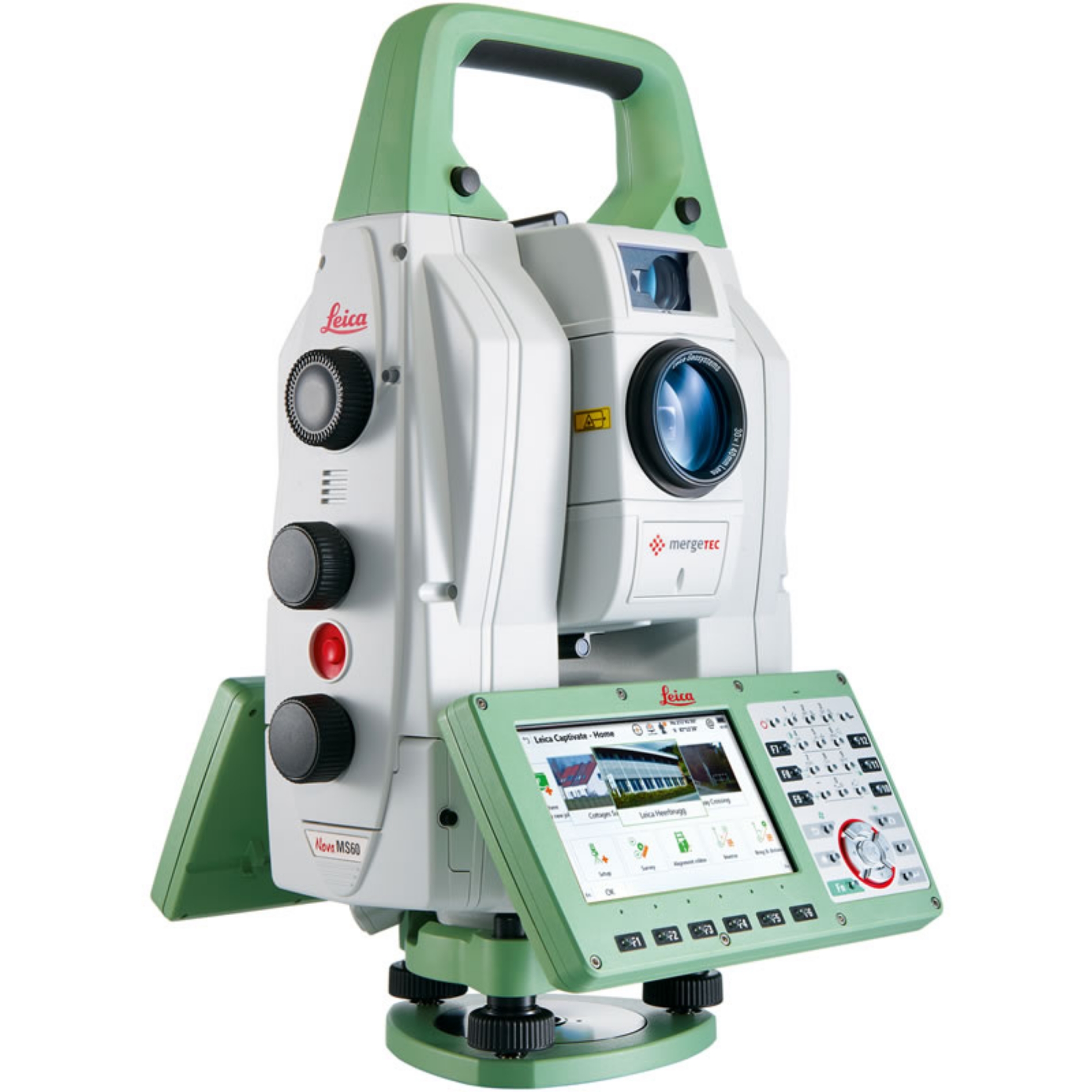
 Leica Nova MS60 MultiStation
 Detailed Description
Step into the future of surveying with the innovative capabilities that redefine measuring technology. Designed for professionals in the fields of construction, architecture, and civil engineering, this state-of-the-art MultiStation is a groundbreaking tool that harmonizes a multitude of measurement technologies into one compact instrument. Whether you're working on a large-scale construction site or intricate architectural projects, this tool offers unmatched reliability and adaptability. Its self-learning technology continuously evaluates and adjusts to environmental conditions, ensuring optimal performance even in challenging circumstances such as rain or fog. Real-time visualization transforms how you interact with survey data. The high-resolution 5” display allows users to seamlessly view and overlay point clouds with 3D models for a comprehensive assessment in a single glance. No longer will you endure the tedious process of interpreting raw data; this MultiStation provides quick and clear insights right where you need them. This capability not only enhances decision-making speed but also boosts overall productivity on-site, ultimately leading to better project outcomes. Surveying professionals will appreciate the advanced scanning capabilities that enable fast and precise data capture. The system generates point clouds and 3D models at an impressive pace, capturing up to 30,000 points per second. With a remarkable range of up to 2 kilometers and an accuracy of 2mm at 100m, this MultiStation ensures your measurements are reliable, making it an essential tool for any surveying project. Its dual camera system, featuring a 5MP overview camera and a 30x co-axial camera, brings an added dimension to documentation, allowing for high-quality imaging that complements the data collected. Lastly, navigating dynamic environments is made simpler through features such as moving prism locking and target adaptation. The MultiStation intelligently locks onto moving prisms, maintaining consistent data capture while filtering out irrelevant targets and reflections. Each of these advanced features combines to enhance overall measurement quality, providing surveying professionals with confidence in every measurement taken. With its robust functionality and cutting-edge technology, this MultiStation is not just a tool; it’s an indispensable partner in elevating the standards of surveying work.
Features & Benefits
- World's first Multi-station: Combines advanced surveying capabilities in one compact device.
- 3D data capture: Precise long-range scanning capability of up to 1000m, enhancing accuracy on projects.
- Self-learning technology: Adapts continuously to environmental conditions for optimal measurement performance.
- ATRplus system: Automates target aiming and locking at ranges of up to 1500m, improving efficiency.
- PinPoint R2000 distance measurement: Achieves superior accuracy with a measurement range exceeding 2000m.
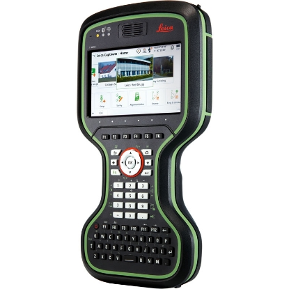
- High-resolution dual camera: Captures high-quality images with a 5 megapixel telescope and overview camera, supporting detailed analysis.
- Fast measurement times: Reduces downtime with quick measurement capabilities, enhancing productivity on-site.
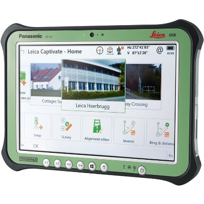
- Engaging Leica Captivate software: Transforms complex data into intuitive 3D models, making data interpretation easier.
- Diverse software integration: Compatible with various software packages for customized workflows tailored to user needs.
- Durable and versatile: Designed for robust performance in varied conditions, ensuring reliable operation in any environment.
Technical Specification
Inst Reflectorless Range
1000m
Angular Accuracy (")
1
Total Station Type
Robotic
Interfaces
RS232 USB Bluetooth WLAN
What's In The Box
Related products