Detailed Description
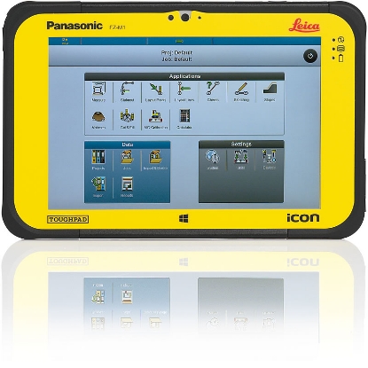
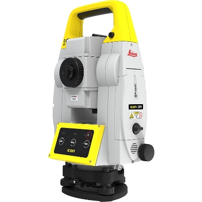
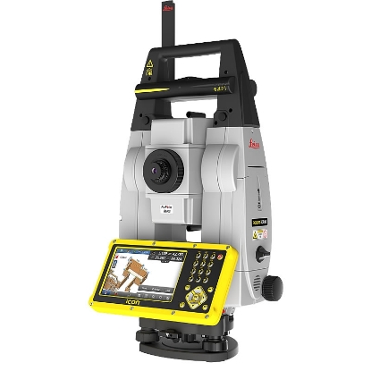
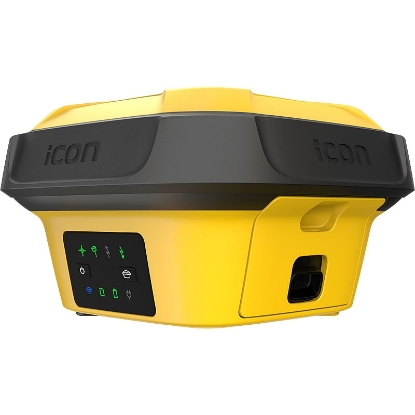
Experience unparalleled precision and efficiency in construction measurements with this cutting-edge Smart Antenna, tailor-made for those who demand reliability in challenging environments. Whether you're a contractor, civil engineer, or surveying professional, the Leica iCON GPS 60 seamlessly integrates advanced GNSS technology to provide maximum accuracy across diverse applications. The intuitive display showcases full system status, making operation and configuration a breeze. No more fumbling with complicated setups—just straightforward, user-friendly navigation that allows you to focus on your work. One of the standout features of the iCON GPS 60 is its superior GNSS technology, engineered to ensure unparalleled accuracy and reliability. With SmartTrack+ and SmartCheck+ capabilities, you can expect precise measurements even under the most challenging conditions. Embrace the future with the assurance that this Smart Antenna supports all current and upcoming satellite systems, making it a future-proof investment that enhances your operational capabilities. The SmartLink technology even bridges RTK communication gaps for up to 10 minutes, allowing you to maintain consistent positioning accuracy when it matters most. Versatility is key in the ever-evolving construction landscape, and this Smart Antenna delivers multi-purpose functionality. Designed for use as a GNSS Base, Rover, or integrated with machine control applications, its flexible nature adapts to your specific workflow needs. The robust communication options, including built-in radio, modem, and Bluetooth, empower you to tailor correction methods to each project, enhancing collaboration among team members and equipment. The convenience doesn't stop there—setup is simplified with no controller required for the base station, so you can get right to work without technical delays. Built to endure the harsh realities of construction sites, the iCON GPS 60 boasts an IP67 waterproof rating and shock-resistant design. This rugged construction ensures that it persists in the toughest conditions, from extreme weather to rough terrains. Coupled with high data logging capacity and customizable software licensing options, this Smart Antenna paves the way for comprehensive project tracking and streamlined operations. Whether you're logging data across multiple rates or purchasing only the software you need when you need it, this device is designed to meet the dynamic demands of your profession and provide the precision performance you can rely on time and again.
Features & Benefits
- Integrated high-speed 4G modem provides excellent network performance
- No controller required for base station set-up, meaning you need less hardware
- Stream corrections over the internet using NTRIP technology, enabling all construction rovers and machines to connect without radio
- Unique flexible software licensing and feature upgrade concept – you invest in what you need
- Tracks up to 60 satellites simultaneously on two frequencies for robust positioning
- Support for multiple satellite signals: GPS, GLONASS, Galileo, and Beidou for versatile compatibility
- Lightweight design at only 150g for easy portability on job sites
- IP67 rating ensures dust and water resistance, enhancing durability in tough environments
- Wide operating temperature range of -40°C to +60°C for reliability in extreme conditions
- High resolution 1.8” grey scale display for clear visibility of device status and performance
Technical Specification
Number of Channels
120
Compatible Satellite Systems
GPS GLONASS Galileo BeiDou
Document Download
Documentation File Format Size
What's In The Box
Related products