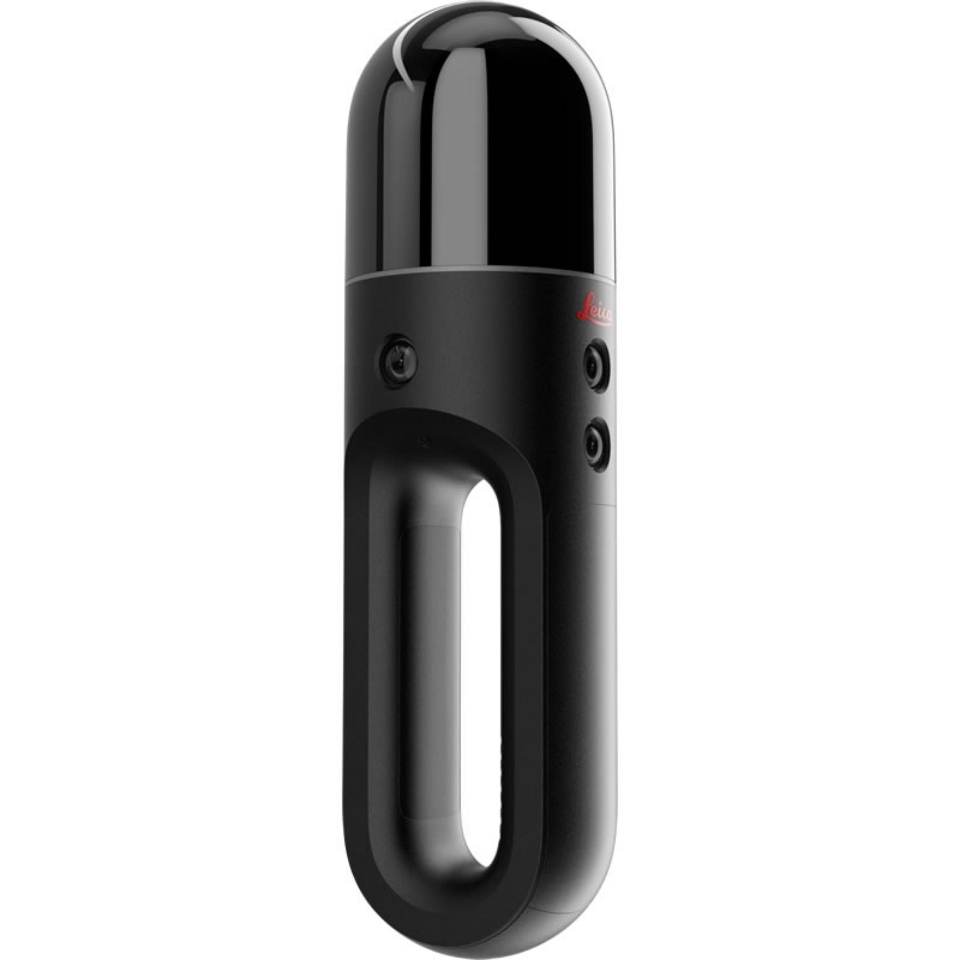
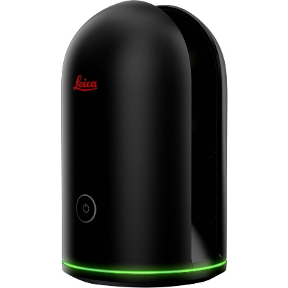
 Leica BLK2GO Handheld Imaging Laser Scanner
 Detailed Description
Fast
Scan as you go with no interruptions. Digital reality capture of the space around you happens in real time as you move through it.
Agile
Scan over and under objects, through rooms and doorways, around corners, and up and down stairwells. Using SLAM spatial awareness technology, BLK2GO knows where it is and where it has been in space.
On The Go
The BLK2GO is wireless and lightweight, designed to capture reality on the move, anywhere you go.
Seamless Capture
Like a torch for visualizing three-dimensional reality, the BLK2GO automatically builds 3D point clouds while in motion. From the moment you begin a scan session until the moment you turn off the BLK2GO, all imagery and 3D data are combined.
Unbound
No tripod. Onboard data collection. Continuous scanning on rechargeable battery power.
Features & Benefits
Specification:
Dual Axis LiDar Dome
The smallest dual axis LiDAR available with best-in-class accuracy, enclosed in a fully protected and encapsulated dome that scans up to 420,000 points per second. Both axes constantly spin while scanning.
Multicamera Vision System
The BLK2GO's vision system is a 12 megapixel detail camera for brilliant high-contrast imagery plus three panoramic cameras for visual navigation via SLAM, point cloud colorization, and capture of panoramic imagery.
The GRANDSLAM
The GRANDSLAM (Simultaneous Localization and Mapping) is a combination of high-speed dual axis LiDAR, multicamera vision system, and an inertial measurement unit that makes the BLK2GO self-navigating.
Advanced Lightguide
The multicoloured lightguide that encircles the BLK2GO is simple, intuitive, and communicative to users of all skill levels. It provides user guidance while scanning and communicates the device status and data quality.
Data Transfer Via Wireless and USB 3.0
Desktop Software Leica Cyclone REGISTER 360 and Cyclone REGISTER 360 (BLK Edition)
Technical Specification
Document Download
Documentation File Format Size


